Utilize cutting-edge geospatial technologies to market and provide real-time information to consumers and businesses with a Master’s degree in Geographic Information Science.

Geospatial technologies, ranging from GPS-enabled devices and satellite remote sensing to combining data sets into a visual representation, are an integral part of our interconnected world and can be applied in a wide range of industries including agriculture, healthcare, energy, and transportation.

You will build flexible, cross-disciplinary expertise around a strong GIS core, drawing upon the University of Illinois’s renowned strengths in GIS, informatics, computer science, and related fields.

Globe

You will gain a firm foundation in GIS theory and applications while acquiring business knowledge and professional skills, skills you won’t get with a traditional master’s. The professional internship allows you to apply your technical and business knowledge in an industrial/organizational setting.

By the end of your program, you’ll be able to:

  • articulate the data needs of a company, model and query databases
  • execute project plans within time and budget
  • understand and discuss regulatory policies
  • assess financial risks, statements, valuation, and capital budgets
  • design a comprehensive marketing strategy
  • examine organizational behavior, structures, effectiveness, and more!

Apply your blended geographic information science and business education at companies that utilize GIS to enhance product sales, resource development, business efficiency, and service delivery.

Many business functions rely on geospatial technologies, including:

  • natural resource development
  • marketing analysis
  • site location analysis
  • environmental risk assessment
  • business intelligence operations
  • logistics, and more.
Topographic Graphic

Companies Our Students Work With

Michael Minn
Meet your Advisor
Michael Minn

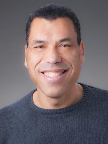
Dr. Michael Minn is a geographer with a focus on training diverse populations to use geospatial technologies effectively in a variety of fields. His research interests include energy futures, the energy-transportation nexus, and open-source geospatial software.

Work with your advisor, Dr. Minn, to create a customized set of courses that match your interests and individual career goals. See brochure for more details

Access courses and faculty performing industry-relevant research in

  • remote sensing
  • urban infrastructure and planning
  • digital cartography and map design
  • computer languages and programming
  • environmental health and more.
Student Spotlight

Hao is a 2017 graduate of the Geographic Information Science program. He obtained his undergraduate degree in Geographic Information Science from Beijing Institute of Technology in his home country of China. Hao worked for Gartner at the University of Illinois Research Park, as a Web Development and Data Visualization Intern. He believes that one of the most beneficial aspects of the program is the Illinois PSM seminar because it “helps prepare you for interviews, teaches you proper business etiquette, and how to communicate professionally.”

Zhang_Hao
Hao Zhang
Class of '17
Let's get in touch!
Select as many of the Illinois PSM programs you are interested in and we’ll keep you updated on admissions, events, and other information based on your interests.
Loading...